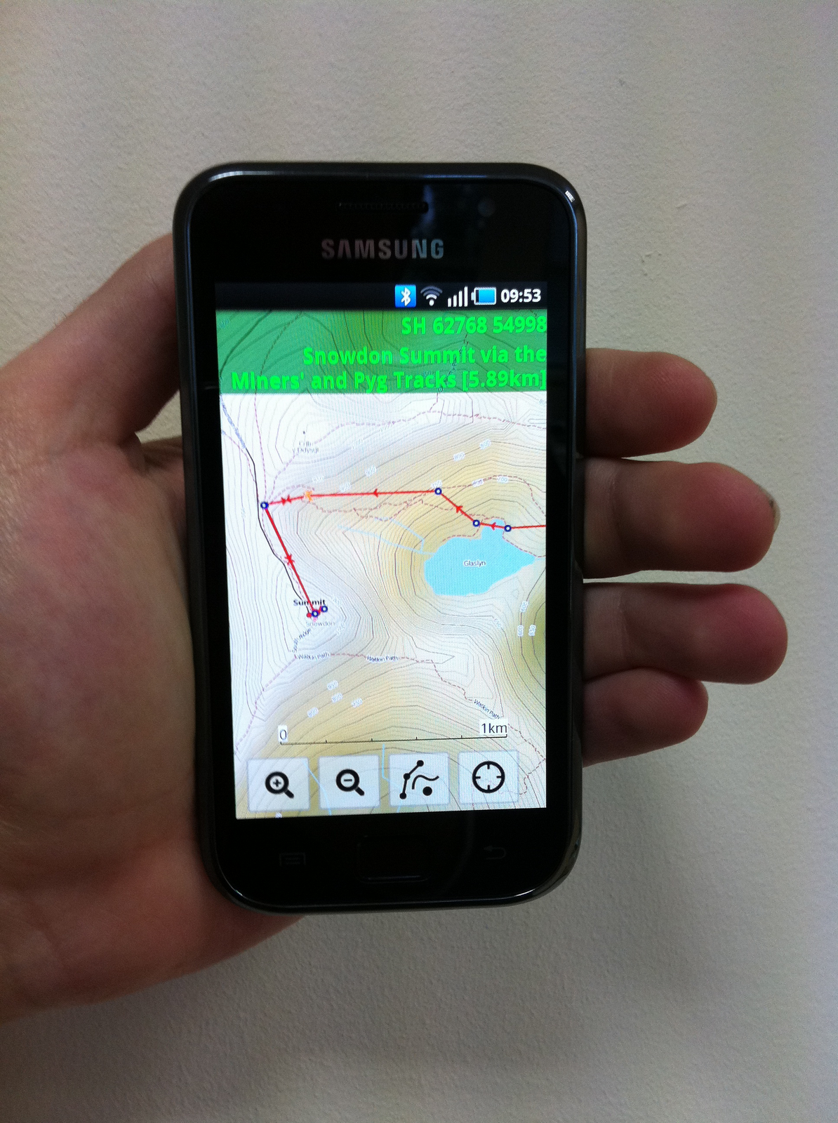
ViewRanger at Geocaching's MegaWales

posted by cw on Friday, July 29, 2011


This weekend a small group from ViewRanger is off to participate at MegaWales 2011. MegaWales is the UK's fourth geocaching Mega-Event and will be held in Brangwyn Hall, Swansea on Sunday 31st July 2011.

A Mega-Event cache is similar to an Event Cache but it is much larger. More than six hundred avid geocachers are already signed up to attend. If you haven't registered yet, then simply turn up on the day.

You can find out more on the MegaWales website, including the program of talks here: http://www.megawales.co.uk/program.html


ViewRanger and Geocaching

ViewRanger can be an excellent app with which to explore geocaching as it combines the ability to display the geocache information from the pocket queries, downloaded as GPX files from geocaching.com or opencaching.com with OS maps. Plus, ViewRanger's navigation capabilities can be used to help guide you towards the cache.

So, if you are attending MegaWales this weekend, seek out Eric and Mel from ViewRanger. Who knows, you may even be able to grab yourself a highly desirable ViewRanger T-Shirt ;-)

Labels: , , , ,

ViewRanger for Android Update

posted by cw on Tuesday, February 22, 2011

The latest software update of ViewRanger for Android smartphones and tablets has just gone live in the Android Market and on our website. It has also been submitted to other Android appstores.

New:
* Placename and postcode search via local gazetteer or online search
* Manual coordinate entry - a big help for geocaching
* Updated Context and Options menus throughout.
* New titlebar with configurable map text, Quick-Navi button and location search button
* Improved route editing UI
* Double tap the map to zoom in

Bug fixes:
* Send old positions switch in BuddyBeacon location sharing now works
* Better support for Android tablets
* Numerous small improvements.

For all the details see the ViewRanger wiki site.


The new map screen header:


Better route editing:


Placename search:


Manual coordinate entry:

Labels:

Android Beta Release 1.4.0

posted by Mike Brocklehurst on Wednesday, January 26, 2011

A new beta release of ViewRanger for Android is available. The changes include:

Local and online search
- Search for place names and post/zip codes.
- Searches ViewRanger gazetteer (.VRG) files stored on the phone.
- Optionally connects to an online search service.

Route and POI editing
- Handles shown when creating or editing a route, so you can see the point being placed.
- Toggle between adding/moving POIs/waypoints and panning the map using the pan button.

Map Interaction
- Double tap the map to zoom in.
- New titlebar with configurable map text, Quick-Navi button and location search button.
- Map cross hair shown to indicate centre of map, the point for which the coordinate and altitude is shown.

Numeric Coordinate Entry
- Enter coordinates numerically.
- Choose between a range of coordinate formats.
- Centre the map on a specific coordinate
- Set the coordinates or a POI or waypoint.

Menus
- Updated Context and Options menus throughout.
- New single-press context button on map view.
- Tap the navigation arrow to see the navigation context menu.

Plus a number of bug fixes and numerous small improvements.


More details of the changes are in the wiki.


To install the beta use your phone's web browser to go to www.viewranger.com/vranbeta. Tap on the Android logo shown to download, then tap on the downloaded file to install. Sorry, the beta is not available through the Android Market, so if you use a Market version you'll need to wait for the release.

Labels: ,

Try ViewRanger GPS for Free on Android

posted by cw on Wednesday, November 10, 2010


We've just published a free trial edition of ViewRanger GPS into the Android Market.

The new version “ViewRanger GPS Free Trial” gives Android users access to the full app’s functionality free of charge for 15 days to allow anyone into off-road activity and outdoor pursuits to try out and enjoy its many features.

The new free trial app, which uses global OpenStreet & OpenCycle mapping and includes Bing road maps and aerial photo layers in the free maps menu, is available in all Android Market territories.

Just like with the full version, it allows users to view their GPS mapped location, record a track and view performance statistics. As the maps can be stored on the phone it works without a mobile signal. ViewRanger GPS navigation features include the ability to plot your own routes or import GPX files; following the route becomes a breeze, with waypoint and navigation alarms that provide alerts along the course. Real-time location sharing is the other key feature of our app – the “BuddyBeacon(TM)” service allows users to share their location with other app or web users and view the location of their friends on-screen, which is great for peace of mind or progress tracking.

During the trial period, Free Trial users can upgrade to the full version easily; by purchasing the full OpenMap edition for a few Euros/Dollars through Android Market or by purchasing any Premium Mapping area, available in 14 countries, from the www.viewranger.com website.

Labels: